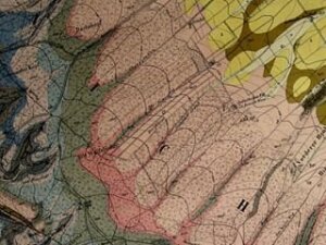
Collection of geological maps
Geological maps form the most important data basis for scientific, economic and technical issues, such as the search for raw materials, subsoil investigations or civil engineering projects. The map archive of the Institute of Geosciences is located at Burgweg 11 and documents several decades of collection activity. Besides numerous German maps in different scales (GK 1:25,000, GÜK 1:200,000) of different epochs (far back into the 19th century), the archive also holds maps from all over Europe and overseas. The collection also focuses on the Alps, Eastern Europe and in particular the Balkan Peninsula (former Yugoslavia, Albania, Bulgaria, Greece).
The map archive also houses numerous original reports and maps of geological expeditions to non-European areas from the 1960-80s, which were prepared for the former Jena Practical Geology Department of the Central Institute for the Physics of the Earth (ZIPE), as well as reports of the Academy of Sciences in Berlin/the GDR..
